Explorer
The whole property. One page.
Everything a survey, a valuer and a planning search would tell you - photoreal 3D, roof, solar, flood, planning and value - gathered onto one page you can fly around.
01
Search any UK address
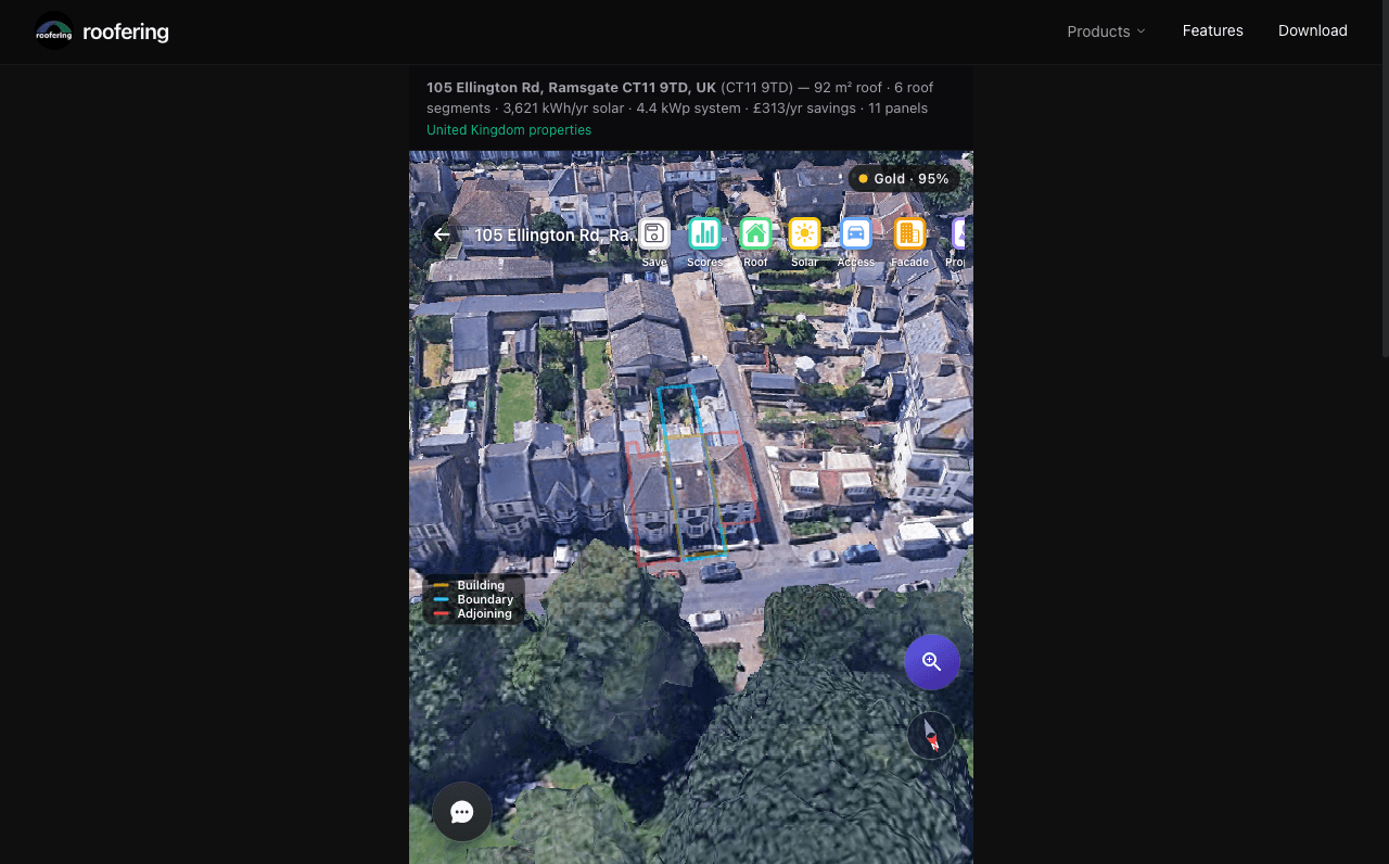
Type an address. We pin the exact property - its building, its boundary, its neighbours - before we show you a single figure.
02
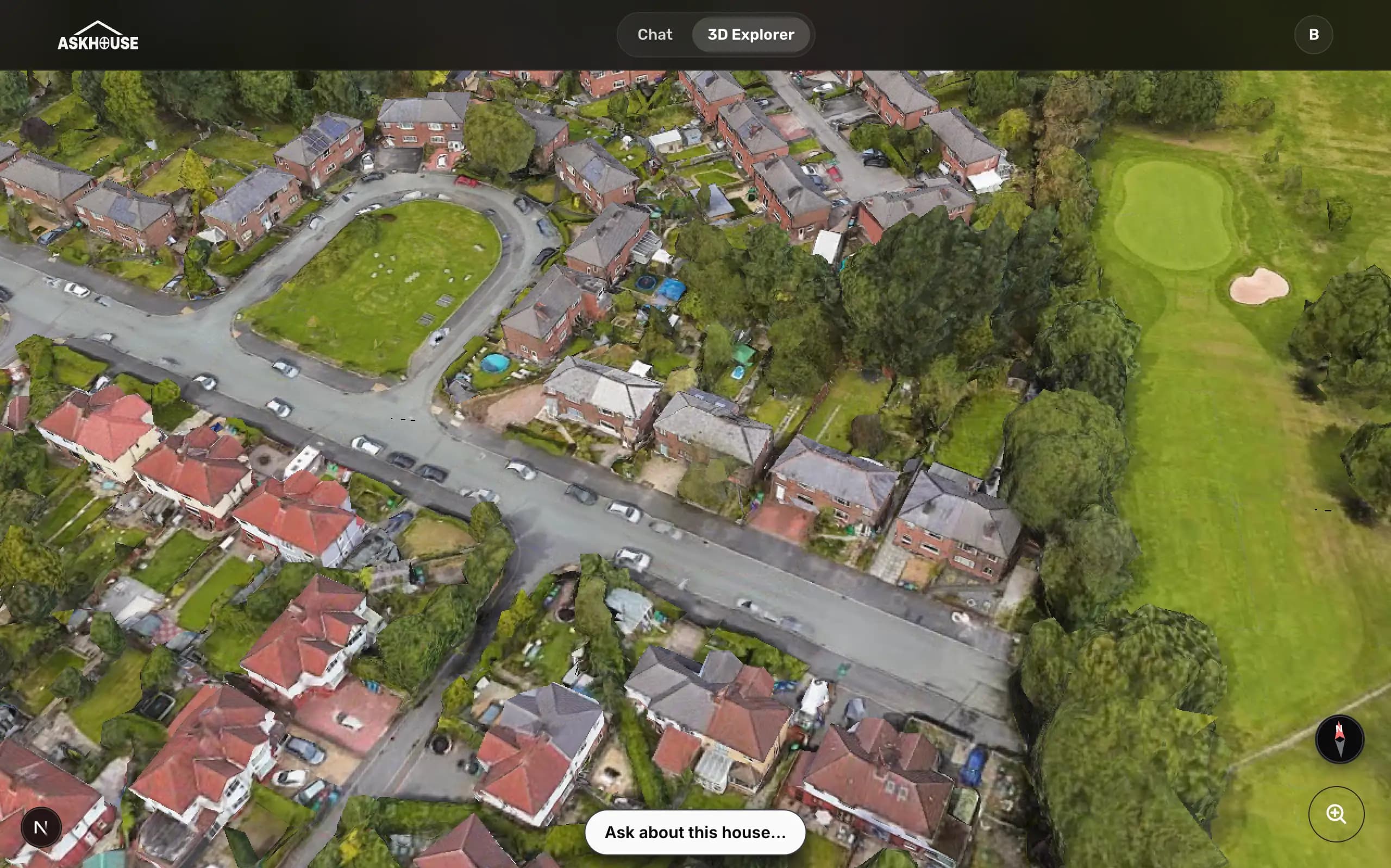
Explore the 3D property view
Fly around a photoreal model of the real house, boundary and building drawn straight on - so you're never guessing which roof is which.
 Now in Microsoft Teams
Fully integrated into Microsoft Teams
Everything Explorer gathers onto one page is a question away inside Teams. @mention any UK address in a channel and the same grounded answers - roof, solar, flood, planning and value - come back as cards the whole team can read, without anyone leaving the thread.
Every roof has a story. It's time to read yours.
Its value, flood risk, solar payback and planning history, all grounded in public record. Free, no account needed.
 Satellite