Grounded property intelligence
Know any house
in 30 seconds
Ask any UK address about its risks, value, planning history and energy.Sourced answers, before you ever book a viewing.
- See flood risk and planning history upfront
- Understand what a home is really worth
- Every answer shows where it came from
How it works
From address to a full picture of the property in under a minute.
Type the address
Any UK property. Search by address, postcode, or what3words.
Ask the house
Risks, value, planning history, energy, the area - ask anything.
See the sources
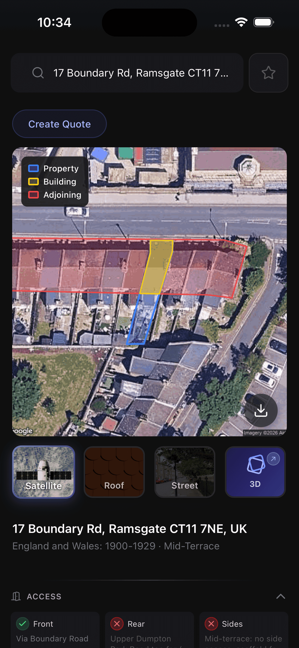
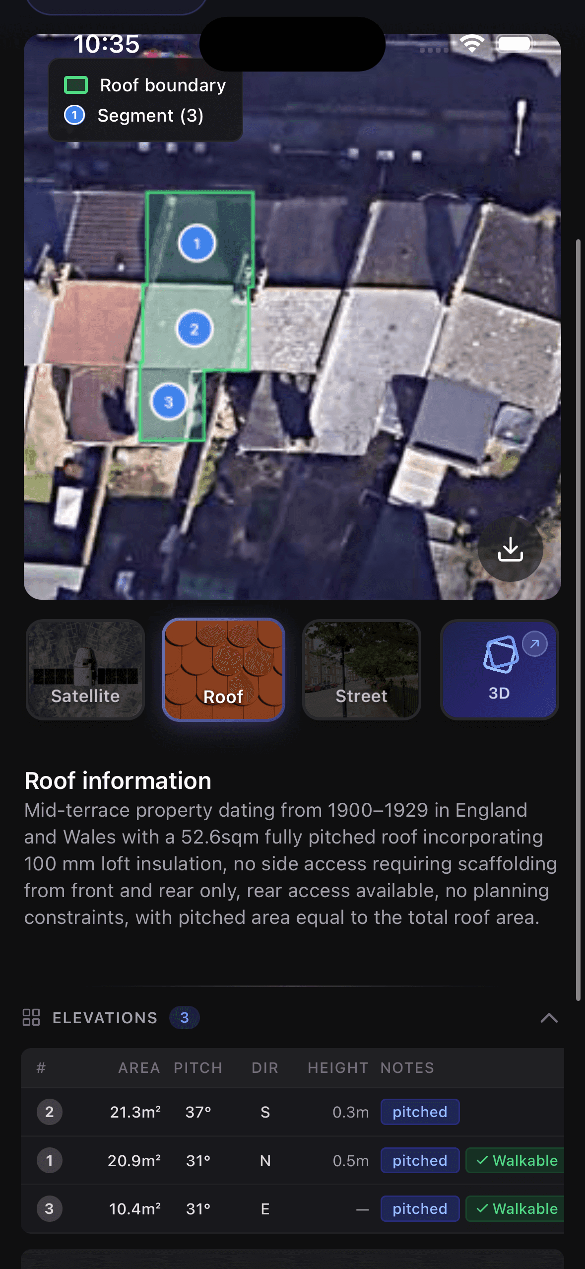
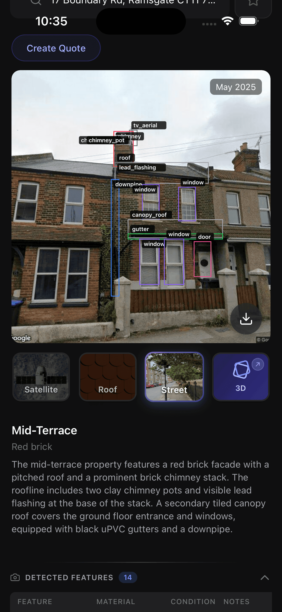
Satellite, 3D and street views alongside answers that show their working.
For surveyors, agents & the trade
🚐
40 minutes there. 40 minutes back.
“We’ll think about it.”
Two hours. No decision.
Now I check before I leave. Thirty seconds. I know the property, the access, any constraints.
I turn up already knowing the house.
Everything you need to know
Satellite & 3D
High-res imagery and 3D models with boundaries drawn on.
Street View
See the frontage, access and setting from ground level.
Risks & value
Flood risk, energy, price context and planning history.
Heritage & constraints
Listed buildings and conservation area alerts.
Start with the right questions
Free to try. No subscription. Just ask any UK address anything.
or